
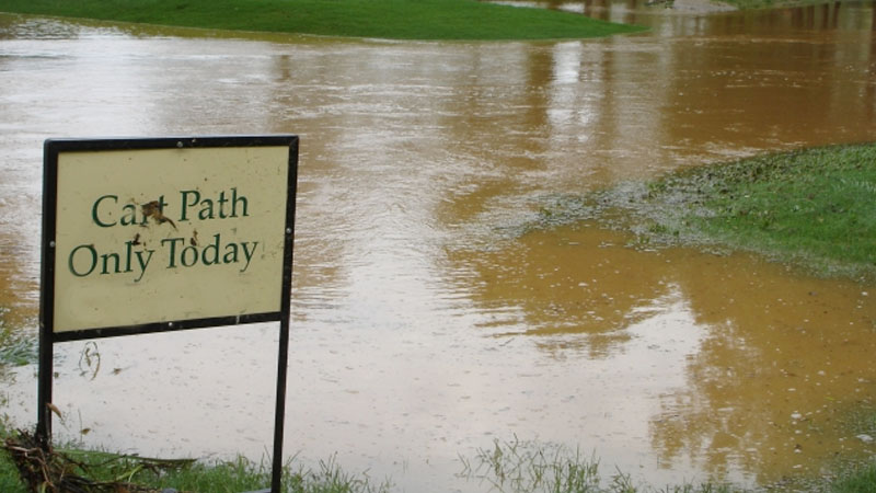
Rain-starved California is getting a reprieve, but is there such thing as too much of a good thing where precipitation is concerned?
Parts of Ventura County received up to 18 inches of rain on Jan. 10-11. Snowpack levels in the Sierra Nevada, a critical source of water during the spring melt, is as much as 200 percent above normal. Reservoirs are on the rise, and farther east in the Upper Colorado River Basin, snowpack in the Rockies is at 140 percent of normal, which is promising for water levels in depleted Lake Mead come spring.
December is the wettest month in Northern California, with an average monthly rainfall in the San Francisco area typically ranging between 2-7 inches for the month. Since Christmas, the rainfall in Northern California has ranged from about 9 inches in the Sacramento area to nearly 14 inches in San Francisco, which is more than half the area's annual average.
This is a La Niña winter, which was supposed to be dry in Southern California, but anomalies like what the state has faced in recent weeks is not unprecedented.
At Monterey Peninsula Country Club on California's Central Coast a video surfaced showing golfers fleeing for higher ground as a wave from the Pacific washed onto the course.
"Yes, it is terrible in the short term that so much rain has fallen out there," said meteorologist Herb Stevens. "But because California is a location that has always featured extremes due largely to the meeting of the largest body of water on the planet and some of the steepest mountains in the world, this cannot be labeled unprecedented."
Some celebrities in Southern California see things differently.
As water levels in what is described as a dry creek bed swelled and threatened her home, Ellen DeGeneres dismissed the weather in California by stating "Mother Nature is mad at us."
The explanation is a little easier and scientific than that.
The Pacific Ocean is in a La Niña state this winter, the third in a row, according to meteorologist Herb Stevens. That typically translates into a dry winter for Southern and Central California as the storm track usually leads from Alaska to the Pacific Northwest, Stevens said. NorCal often is close enough to the fringe to get some relief.
That does little to explain what is happening in Southern California.
"In the middle of a La Niña it is not impossible for the storm track to more closely mimic an El Niño, which brings wet winters to California," Stevens said. "In an El Niño, the storm track is more west to east, and farther south, and that is what we have seen the past couple of weeks. The more southern storms are warmer than their Alaskan counterparts, and originate over warmer waters well out in the ocean and thus have more water vapor contained in the circulations, leading to heavy to excessive rain.
"It is unusual to have a stormy period like this in California in a La Niña, but certainly not unheard of. The pattern will break in about eight or nine days, and the next couple of months will revert to dry conditions in California."
